|
welcome to the Rowes Bay Wetlands learnscape
geology & climate change: the only certainty is
variability

|
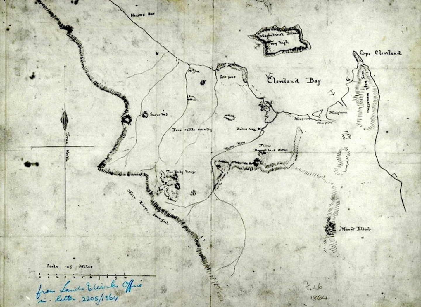
The Rowes Bay wetlands
are a landscape sculpture created by climate change, wind, water,
waves, weathering and erosion.
The history of the Rowes Bay wetlands is a long story in human years.
If we went on a time trip and looked at recent geological time the
starting point would be around 120,000 years ago.
The main visible player in this wetland formation story is climate
change. Climate change impact is much easier to see over geological
time than within human generations. While time is a measure of temporal
‘distance’ between events ‘natural’ climate change forces, powered by
the sun, were creating the events and changing the face of the planet.
|
 |
~120,000 years ago
The (Pleistocene) shoreline was three to six kilometres inland of its
current location and backed by low, broad foredunes with tidal flats to
seaward. At this time Many Peaks Range was an island and Castle Hill
was partly surrounded by water. At that time the Rowes Bay Wetlands
would have been really, really wet i.e. underwater. |
 |
~20,000 years ago
At the peak of the last ice age the sea level was 100m to 160m lower
than it is today. The coastline was 40 to 50 kilometres east of the
present coast. Magnetic Island would have been an isolated mountain
range on a broad coastal plain. At that time the Rowes Bay Wetlands
were really, really dry.
|
 |
~6,000 years ago
Around this time the sea level rose to about its present level. This
happened over a period of about 14,000 years as the ice age ‘thawed
out’. At this time the shoreline was around two to three kilometres
further west than the current shoreline. The Rowes Bay Wetlands could
have been wet and dry depending on tidal influences.
|
 |
Today
Over the last 6,000 years there has been a gradual build up of sand
ridges between Castle Hill and Many Peaks Range to form the current
coastline. The Burdekin River has provided the bulk of the sand and
sediment with long-shore currents moving the material northwards.
Sometime between then and now the Rowes Bay Wetlands were formed by the
action of waves, tides, wind and water flow from the Mundy Creek
catchment.
|
| Reference: Trezise, D.L., and Stephenson, P.J.
1990, Rocks and
Landscapes of the Townsville District, Department of Resource
Industries, Queensland. |

|
|